
The Yukon is a vast territory in Canada's north that often goes unexplored even by Canadians - who are clearly missing out one of the world's most spectacular places. A road trip on the famed Dempster Highway is an excellent way to see the far north.
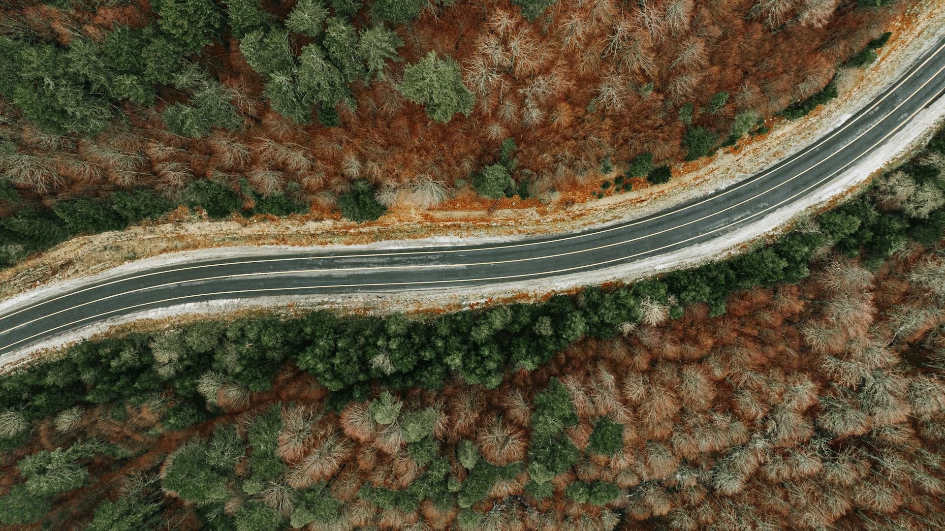
The Dempster Highway is one of Canada's most unforgettable road trips. Stretching 740 kilometers between Dawson City and Inuvik, this gravel road will bring you into contact with wildlife, views, and a foray into the Arctic Circle.
This is your sign to add the Dempster Highway to your travel bucket list - let's start by learning all about all the best stops on this famous gravel road.
Whether it’s a journey along the Cabot Trail or an adventure on the Icefields Parkway, Canada’s ultimate road trips promise unforgettable memories.


Prepare Yourself for Challenging Road Conditions
Though the Dempster Highway is made up of gravel and goes through remote terrain, you will see all kinds of cars that complete the road trip. To ensure that you make it through safely you will want to make sure that your car is in overall good condition (fluids topped off, spare tire) and that your tires are checked.
Many people choose to do the road trip in a van, RV, or camper, so that they have the flexibility to sleep at a campsite or a safe location. You’ll also be much more comfortable.
Should you choose to rent a car because you are flying in, be sure to rent from a company that permits car usage on the Dempster Highway. Specialty rental companies like Overland Yukon and Klondike Car Rental will have cars appropriate for the trip.
Start the Drive in Dawson City
The road trip begins in historic Dawson City, a town known for its connection to the Klondike Gold Rush. Once known as the “Paris of the North,” Dawson City is lively city known for its tourist activities and cultural festivals.
Museums, gold mine tours, and outdoor adventure activities like dog sledding and river tours are just a few things you can do in this town.
Of course, it is a great place to rest, fuel up, and grab some provisions for the long journey ahead.
The winding roads of Route 132 showcase the natural splendor of the Gaspé Peninsula, from rugged coastlines to tranquil forests.
Dawson City Attractions
- Discovery Claim National Historic Site
- Palace Grand Theatre
- Danoja Zho Cultural Centre
- Midnight Dome
- Diamond Tooth Gerties
Hop on the Dempster Highway and See Tombstone Territorial Park
Once you’ve had your fun in Dawson City, hop on the Dempster Highway by heading to Dempster Corner, 40 km from town.
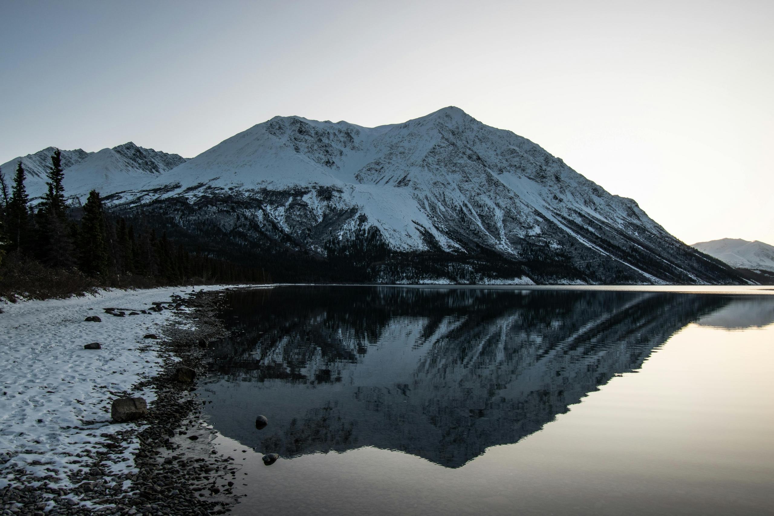
Drive north to Tombstone Territorial park, a place where you’ll see jagged mountain terrain and sub-arctic flora and fauna. Behold the peak of Tombstone Mountain at the North Fork pass viewpoint, which is shaped exactly as the name suggests.
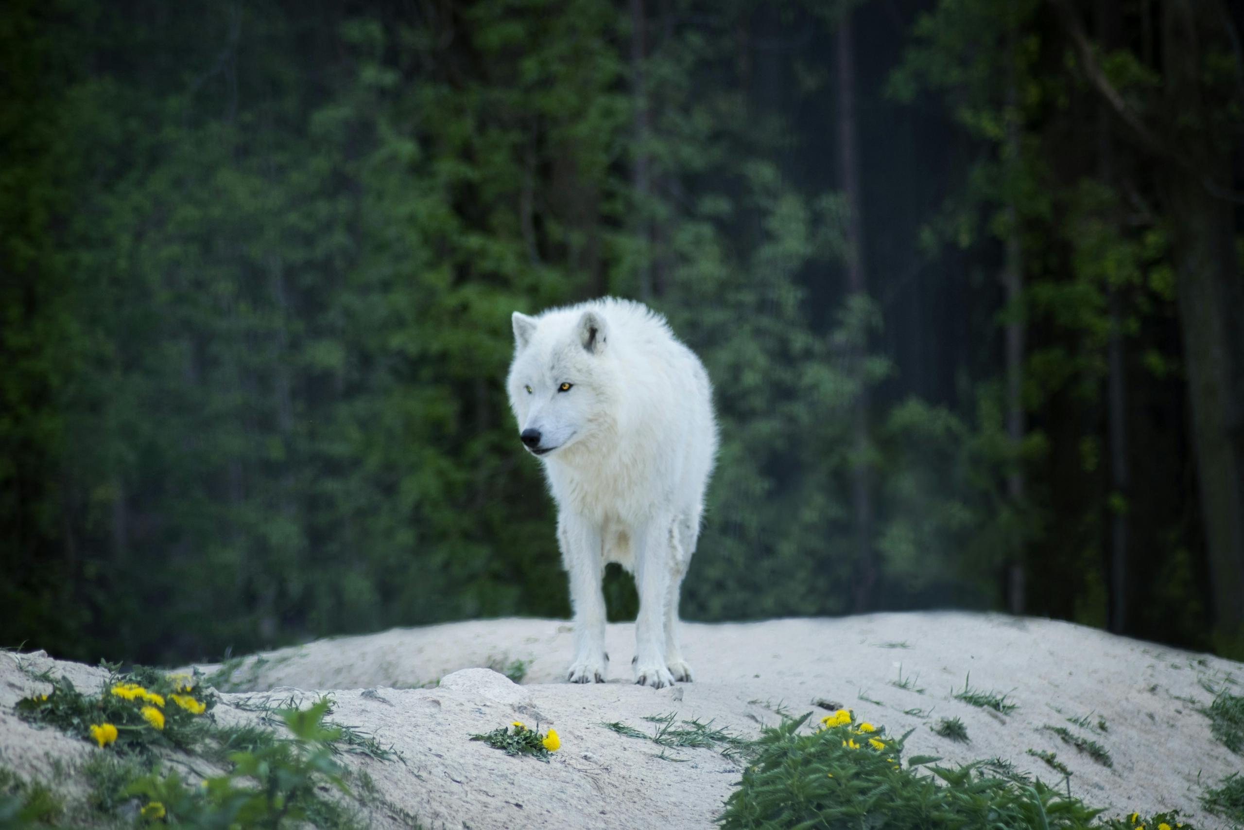
Love wildlife? You may just run into a moose, marmots, eagles, or pika. If you’re equipped for it, spend the night at the park’s campgrounds or keep moving forward.
Stop a Day in Eagle Plains
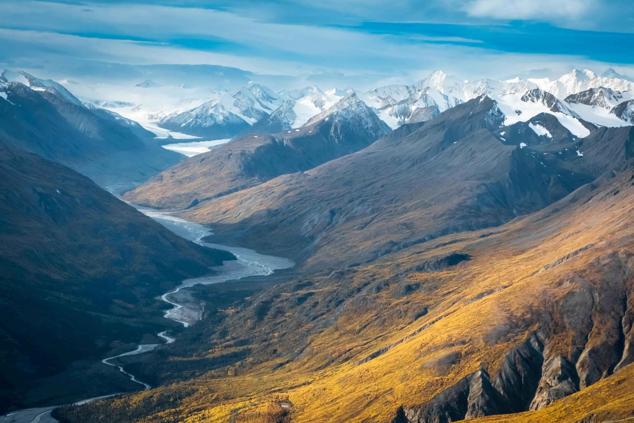
As you continue driving north through the Ogilvie Mountains, you’ll approach a region you’ve probably only heard about in reference to Santa Claus - the Arctic Circle. But first, enjoy the views of vast tundra and mountains at the Eagle Plains plateau.
Keep in mind that the town of Eagle Plains is the halfway point between Dawson City and Inuvik, and the Eagle Plains Hotel is the only accommodation available in town. Be sure to book it in advance if you plan to stay there overnight.
Take some time to rest, fuel up and replenish your snacks and supplies for the Arctic Circle.
Driving the Cabot Trail is an unforgettable experience that includes winding roads, awe-inducing cliffs, and vibrant communities celebrating Celtic and Acadian heritage.
Cross into Canada's True North - the Arctic Circle
A true bucket list item for travellers, the Arctic Circle is just about as remote as you can get on a road. Marked by a commemorative highway sign, this is a great time to reflect on nature and how special it is to be in a place so rarely seen by others.
The exact location of the Arctic Circle Crossing is latitude 66° 33′ north of the Equator.
If you are there around the time of the Summer Solstice, expect to experience some of the longest hours of sunlight.
Fun fact: On June 21, the sun does not dip below the horizon at this latitude for six weeks. The crossing marks the southernmost latitude where the sun can stay continuously below or above the horizon for 24 hours. The seemingly never-ending daylight in summer and nighttime in winter are known as the Midnight Sun and the Polar Night.
Adjust the Time as you Enter the Northwest Territories
As you continue along the Dempster Highway, you will eventually cross into the neighbouring Northwest Territories. Though you are still in Canada, the time zone shifts from Pacific to Mountain time.
Interestingly, you will cross the continental divide as you make your way through the Richardson Mountains. Keep an eye out for grizzly bears, which are abundant in the area!
Mackenzie River Crossing and Jak Territorial Park
At the 607th kilometre of the Dempster Highway, just 57 km from the town of Fort McPherson, you will arrive at the Mackenzie River Crossing. The ferry is free of charge.
Another 130 km will take you to Jak Territorial Park, where you will be treated to scenic countryside and opportunities for bird watching. You’ll also find campsites where you can rest for awhile.
The Icefields Parkway offers unparalleled access to the heart of the Canadian Rockies, winding through towering peaks and turquoise rivers.
Park Your Car in Inuvik
Once you arrive in Inuvik, you will have completed the Dempster Highway. Located just south of the treeline and Arctic Tundra, Inuvik is home to a vibrant Indigenous community and is the traditional land of the Inuvialuit, Gwich’in and Metis people.
As you might expect, Inuvik buzzes with activity in the summer as travellers descend up on this arctic settlement. Stay in town and enjoy the urban amenities, festivals, parks, or take it easy and let a tour operator show you around the area.
Things to Do in Inuvik
Extend the Journey to Tuktoyaktuk and the Arctic Ocean
Though the Dempster Highway officially ends in Inuvik, you can extend the journey by taking the Inuvik-Tuktoyaktuk Highway (“Road to Tuk”) which will take you to the Beaufort Sea and Arctic Ocean.
The “Road to Tuk” will take you through boreal forest, tundra, lakes, and incredible scenery. Unique to the area are pingos, or ice-cored hills. Be sure to visit Pingo Canadian Landmark and get photos of these arctic landforms.
What is the History of the Dempster Highway?
The Dempster Highway was named for William Dempster of the Northwest Mounted Police. It follows the old dog sled route from Dawson City to Fort McPherson.
The Canadian government made the decision to build Dempster Highway in 1958 to facilitate oil and gas exploration in the Mackenzie Delta and to build the town of Inuvik. A highway across the Arctic Circle was required to bring drilling equipment and infrastructure.
However, due to escalating costs and disagreements among stakeholders, progress was slow. And only 115 km of road was built by the time the project came to a halt in 1961. In 1968, Americans discovered huge reserves of oil and gas at Prudhoe Bay, Alaska. Wanting to assert its sovereignty over the Arctic territories, Canada resumed construction on the highway.
The highway finally opened on August 18, 1979 in Flat Creek, Yukon.
Round Up
A drive through the Dempster Highway will give you to unforgettable sights, fascinating historical and cultural experiences, and a surreal adventure into the Arctic Circle. Before embarking on this journey, make sure your vehicle is ready and that you are prepared for the adventure ahead.
Summarize with AI:
Did you like this article? Leave a rating!


